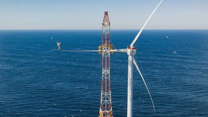
Information on Ørsted’s offshore wind activities for ocean users
Ørsted’s approach to offshore wind starts with recognizing the ocean as a shared space – a place where people fish, sail, and enjoy nature.
That’s why our Marine Affairs team is committed to helping fishermen and other mariners thrive in and around our offshore wind farms. We keep open lines of communication and work to avoid or mitigate impacts wherever possible. Our team provides regular updates and relevant resources about our offshore activities, maintaining fishing access and promoting safe navigation during wind farm development, construction, and operations.
.jpg?mh=720&mw=720&rev=b98efc918faf45838fd96c857168dc53&hash=B771370FE24AE4AE1574017F2521E03B)
-
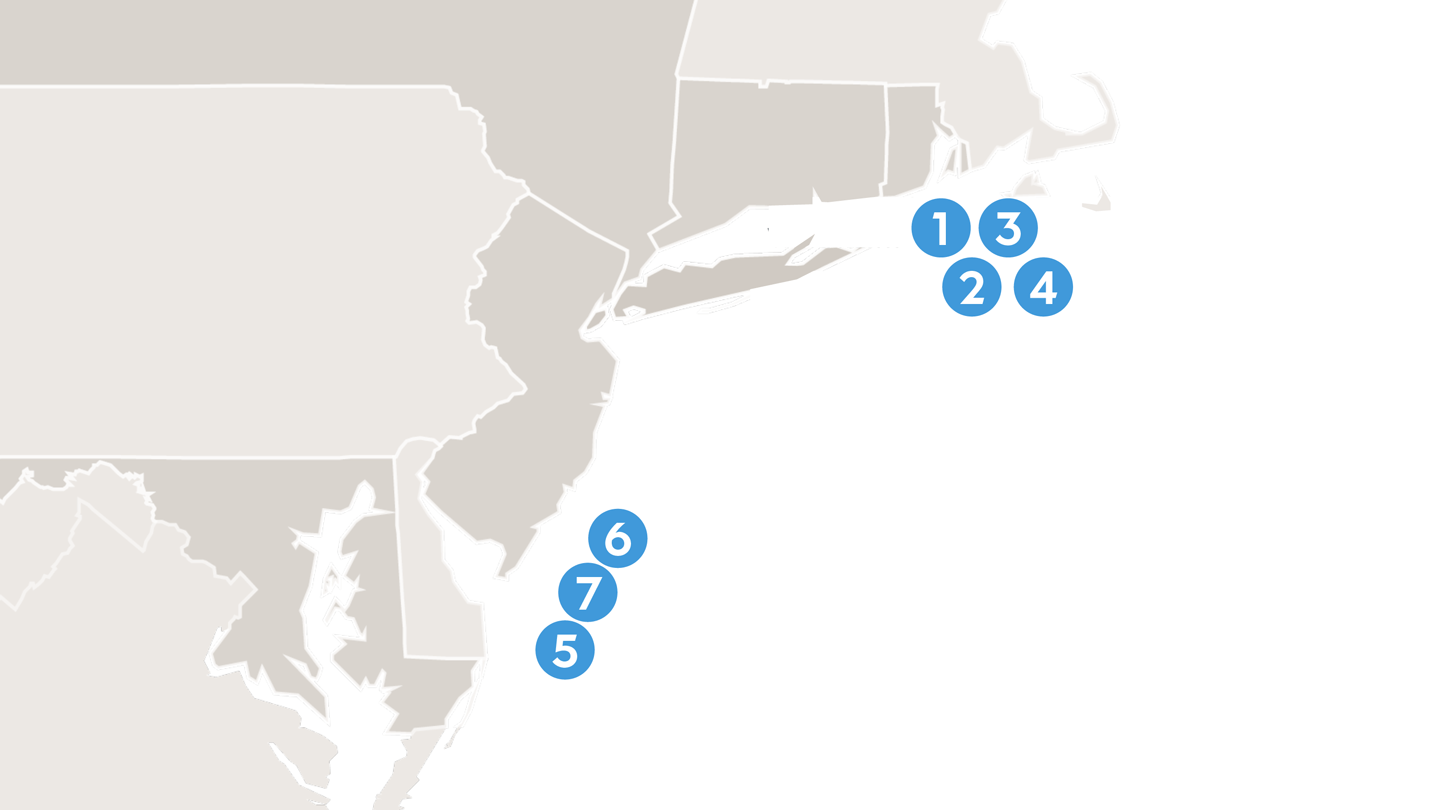
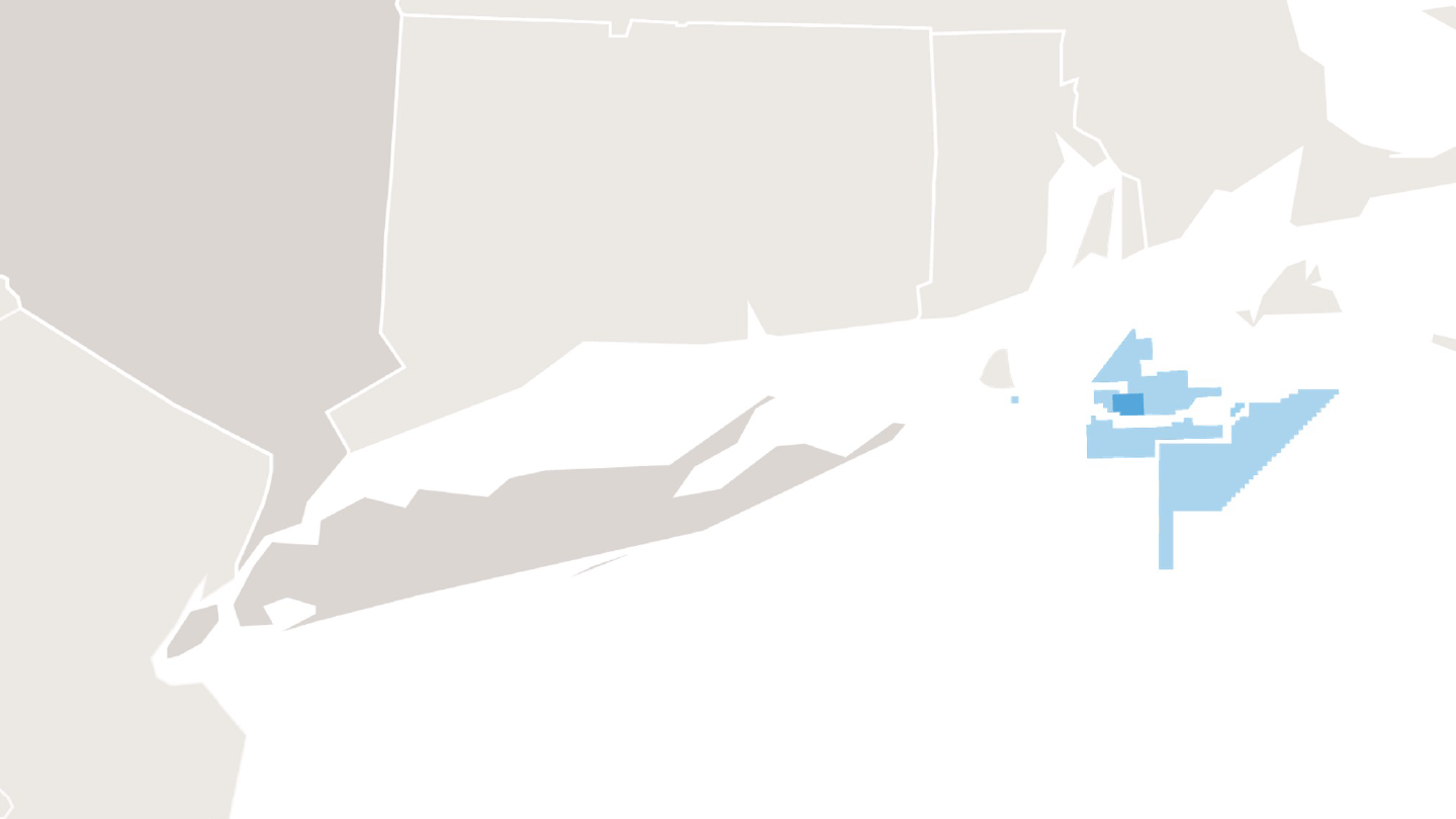
1. Block Island Wind Farm
Block Island
Ørsted’s Block Island Wind farm consists of 5 offshore wind turbines built three miles south of Block Island, RI. You can read more about the project here.
-
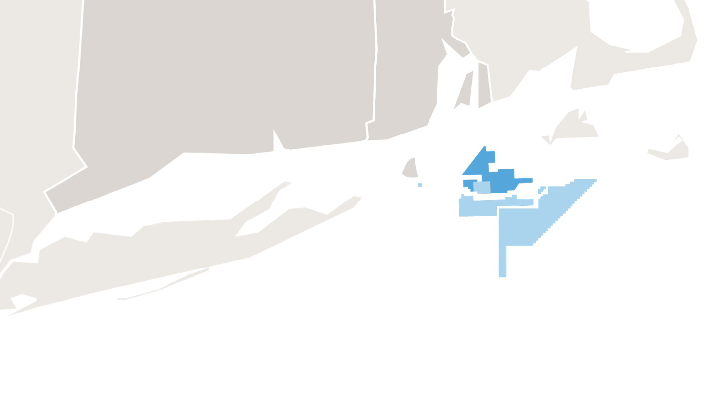
2. South Fork Wind
South Fork
Ørsted’s South Fork Wind offshore wind farm consists of 12 turbines and an offshore substation located thirty-five miles east of Montauk Point, NY. You can read more about the project here, and find information about the wind farm’s location, construction, and scientific monitoring below.
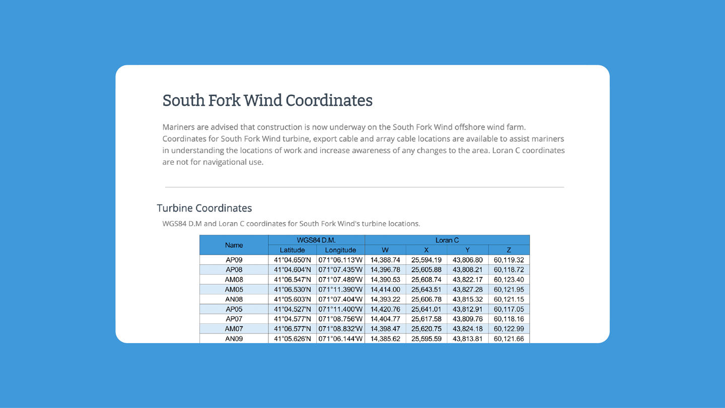
Navigational resources- South Fork Wind Plotter Files
- South Fork Wind Turbine, Export Cable and Inter-Array Cables Coordinates
- South Fork Wind Navigation
- South Fork Wind Cable Mattress Coordinates
Informational resources
Monitoring resources
- South Fork Wind Boulder Relocation (PDF)
- South Fork Wind Seabed Prep
- South Fork Wind Acoustic Monitoring Study
- South Fork Wind Autonomous Slocum Glider
- South Fork Wind Fish Pot Survey
- South Fork Wind Ventless Trap Survey
- South Fork Wind Beam Trawl Survey
- South Fork Wind Export Cable Route Telemetry Study
- South Fork Wind Export Cable Route Trawl Survey
-
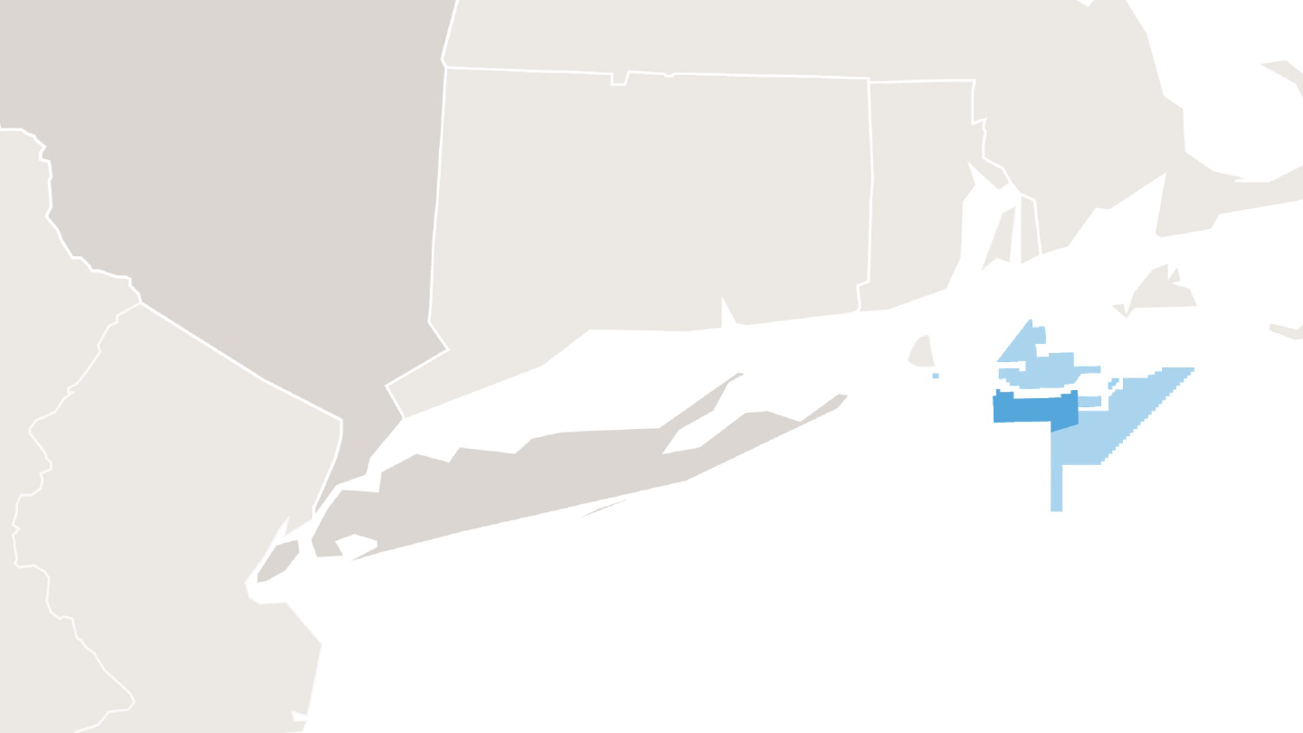
3. Revolution Wind
Revolution Wind
Ørsted’s Revolution Wind offshore wind farm is being built midway between Block Island, Rhode Island and Martha’s Vineyard, Massachusetts. You can read more about the project here, and find information on navigation and scientific monitoring in Rhode Island waters below.
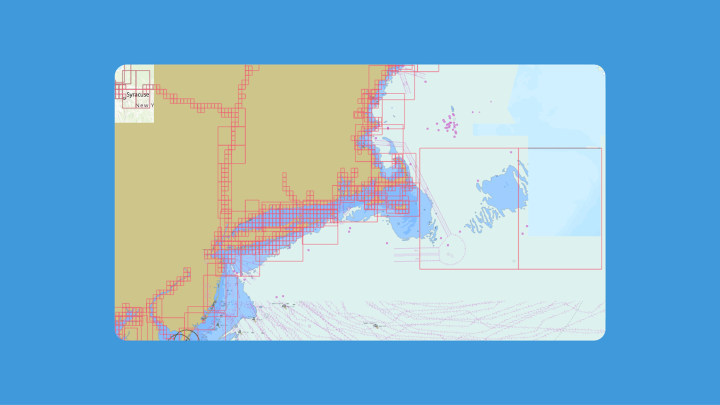
Navigational resources
- Revolution Wind Chart
- Revolution Wind Preliminary Export Cable Route Coordinates
- Revolution Wind Preliminary Turbine Coordinates
- Revolution Wind Preliminary Inter-Array Cable Coordinates
- Revolution Wind Preliminary Plotter Files
- Revolution Wind Relocated Boulder Coordinates
Monitoring resources
-
4. Sunrise Wind
Sunrise Wind
Ørsted’s Sunrise Wind offshore wind farm is being developed thirty miles east of Montauk Point, NY. You can read more about the project here, and find information on surveys and monitoring in New York waters below.
-
5. Skipjack Wind
Skipjack Wind
Ørsted’s Skipjack Wind offshore wind farm is being developed fifteen miles off the coast of Delaware and twenty miles off the coast of Maryland. You can read more about the project here.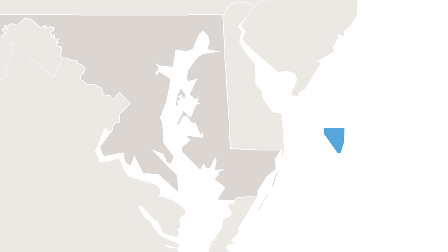
-
6. Ocean Wind 1
Ocean Wind 1
Ørsted has ceased development of Ocean Wind 1 in its current configuration as awarded by the New Jersey Board of Public Utilities.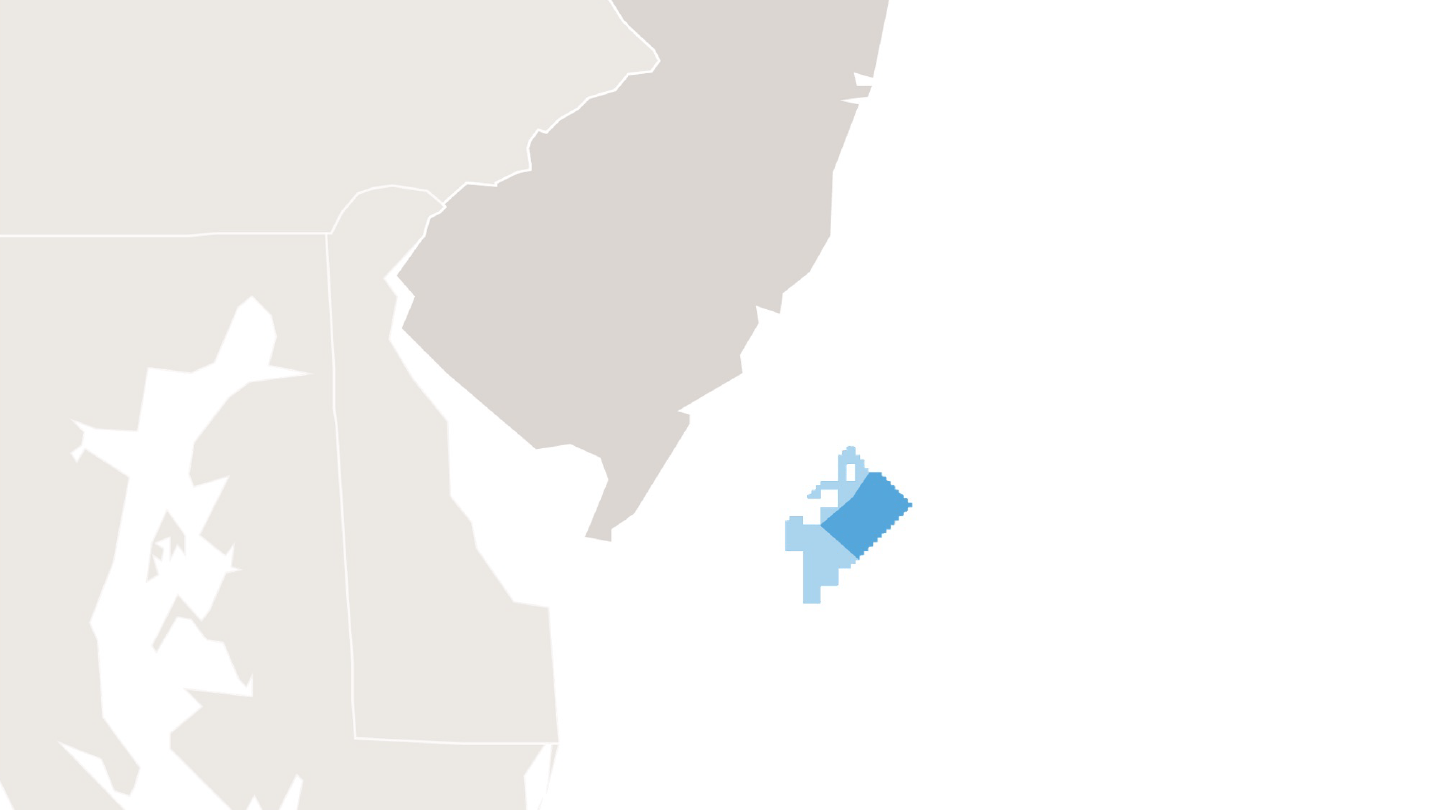
-
7. Ocean Wind 2
Ocean Wind 2
Ørsted has ceased development of Ocean Wind 2 in its current configuration as awarded by the New Jersey Board of Public Utilities.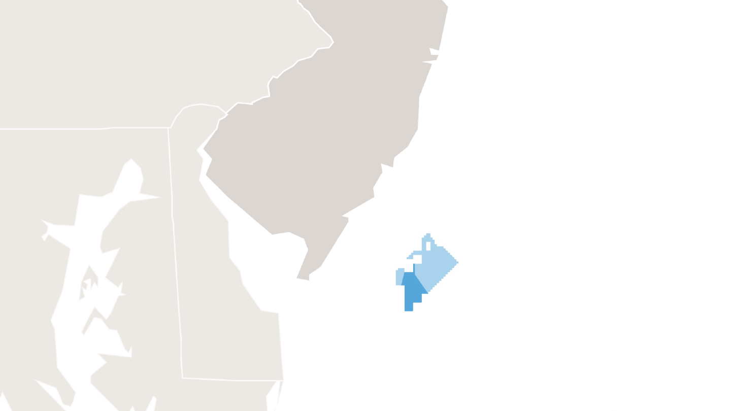
Navigational resources
At Ørsted, we’re committed to helping all mariners safely operate and navigate in and around our offshore wind farms. In addition to the charts provided above, mariners can find navigational resources for Ørsted’s offshore wind projects, including those in operation and under construction, below.

Programs for fishermen
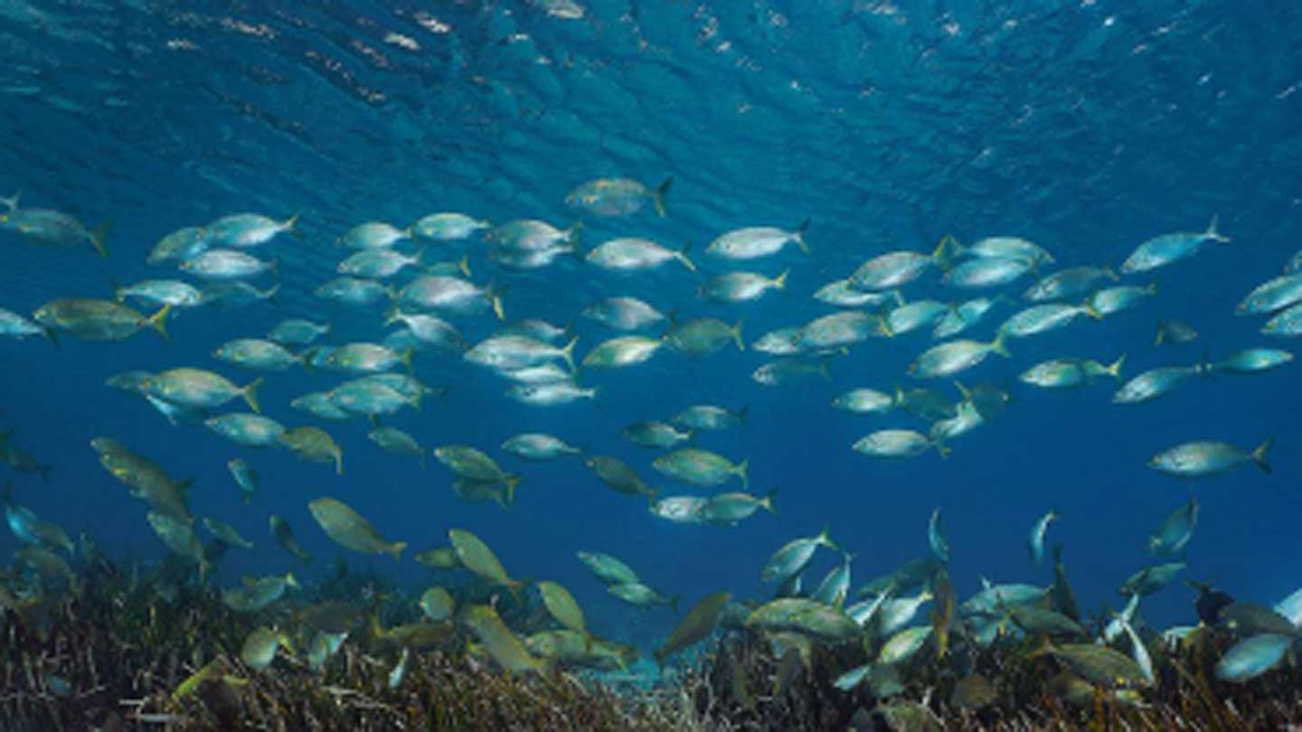
Our Marine Affairs team works closely with fishermen, ensuring the ocean remains a place where both offshore wind and fishing can thrive. In addition to regular communications, Ørsted provides fishing-specific programs designed to avoid or mitigate impacts on individuals who rely on local fisheries.


Contact us
Have questions about Ørsted’s offshore wind farms or our work with local mariners? You can reach out to our Northeast Marine Affairs team at MANEP@orsted.com or find individual contact information below.
-
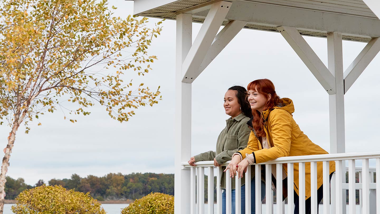
Our Marine Affairs team